View data
All our data are provided in netCDF format. This is a self-describing format which is widely accepted by the user community, and is by necessity efficient and reliable.
Follow these links to navigate to our overviews of data format and quality control tests.
A number of tools are available to view netCDF data
- ncBrowse - A free Java application which can be used to view the data and attributes in a netCDF file. We recommend using this if you want to interrogate your files prior to full dissemination.
- Ocean Data View - A free software package for the interactive exploration, analysis and visualisation of oceanographic data, developed by Reiner Schlitzer. This has become a standard tool for the oceanographic community and recognises many data formats besides Argo.
- Sample Matlab code - Basic code, readme and example file to read Argo netCDF format.
More information about floats can be accessed via the Jcommops GIS interactive map.
If you need help viewing or interpreting argo data, please contact us.
Google Earth layer
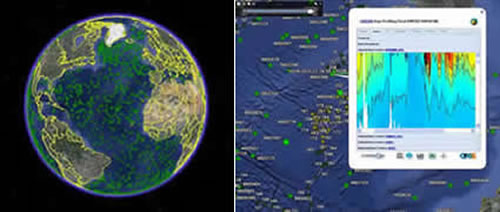
The Argo Google Earth layer offers an interactive interface with the Argo dataset. This is maintained by the Argo Technical Coordinator and is updated in near-real time. Simply download the layer and add it to your favourites on Google Earth. Individual floats can be selected, displaying information on historical profiles, trajectory, QC and mechanical status. Data can be downloaded directly from here as the interface is linked to the GDACs.
